Living up here on the other side of Walton’s Mountain in the back of the beyond, we occasionally, sometimes or even frequently have need to visit the “big city” of Spokane, Washington. Sometimes we are desperate to visit the city, any city. Other times, we don’t ever want to see a city ever again. “Big” is a comparative term. If you’re comparing Spokane to Seattle, or Chicago or Miami, then it’s not so much. If you’re comparing it to say, Republic, Washington, then yes, Spokane is huge. Just HUGE!
Getting to Spokane is a story unto itself and that’s where I’m heading today friends. There are 2 possible driving routes and no matter which one you choose it’s still a 3 hour drive. Unless the road over the Pass is closed, then your not going anywhere. Or the Ferry Boat is down for repairs or bad weather on the river. Then again, you’re not going anywhere. Come on along as I show you how we back of the beyond folks get to the big city!
First, we head down West Curlew Lake Rd., and turn left on West Curlew Lake Rd. Don’t ask, it’s a local thing and it works out OK unless you’re trying to give directions to out of towners, then it gets iffy. Then you turn right onto SR 20 and go 50 mph unless you’re worried about hitting deer, then you sort of go 50 mph but it’s a slow 50 mph because you really don’t want your car battered again and having a deer head through your windshield can ruin your whole day. Don’t ask why I know this. But I digress. At the Pine Grove Junction, you stop for gas and to clean your windshield and maybe even get breakfast. Their pancakes are as big as dinner plates! Then turn right on that road going past the fairgrounds which is still 55 mph but WATCH OUT because at Tim’s Tire Pros, the speed limit drops to 45 mph. A little further on down by the Tiger Trail, it drops to 35 mph, and honey let me tell you, the police love sitting there on a Friday afternoon catching all the city folk barreling down the highway on their way to relax and slow down their pace for the weekend. But they only have 48 hours to relax so it’s kind of a really fast slower pace. When you see the Chevron Station with the Subway store on your right get ready to bear left at the intersection and move fast and stay way to the right because experience has shown me that people do all kinds of strange maneuvers on that double curving “Y” intersection trying to figure out where their lane is. But NOW, we are safely on SR 21 and we are heading to the Big City!
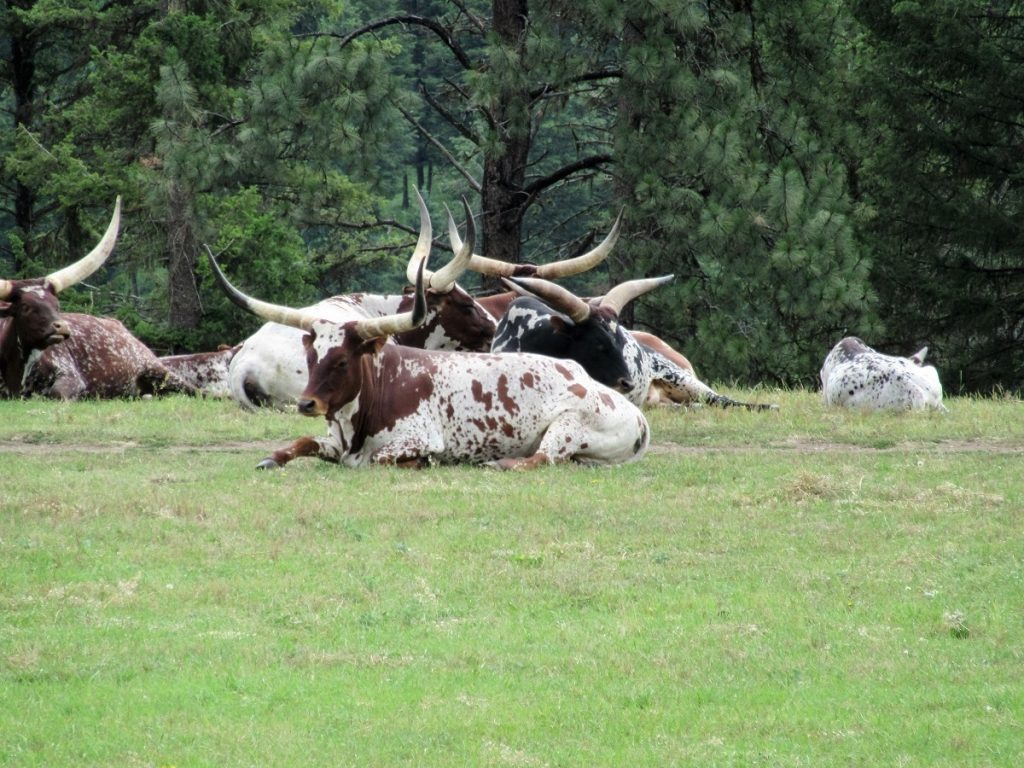
The first really cool thing you’ll see are these Texas Longhorns on Kathy McKay’s place. Someday I’ll have to ask her why she has TEXAS longhorns on the WASHINGTON State K ><K Ranch, but for now I’ll just let you gawk in amazement as I do every time.
Moo?
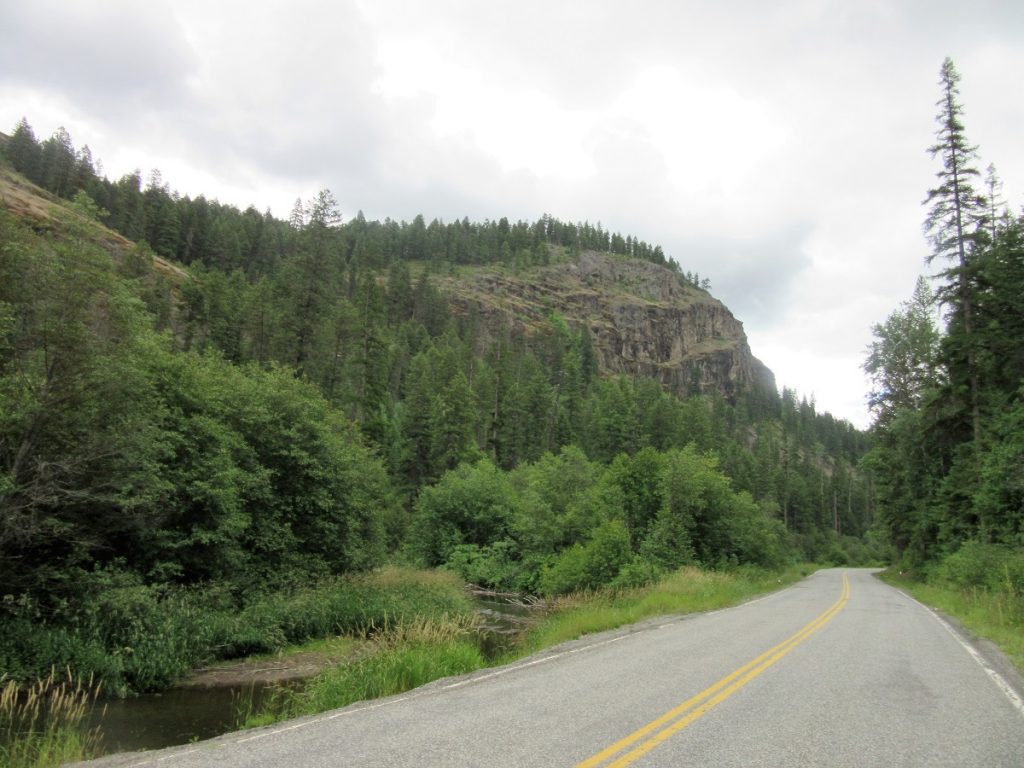
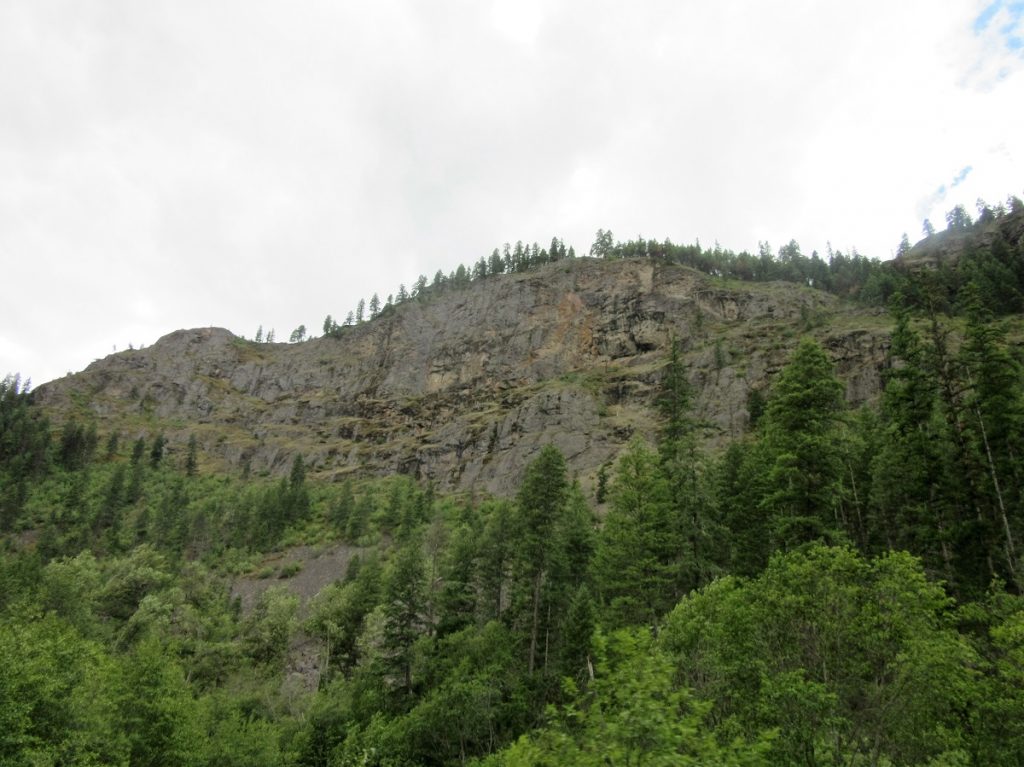
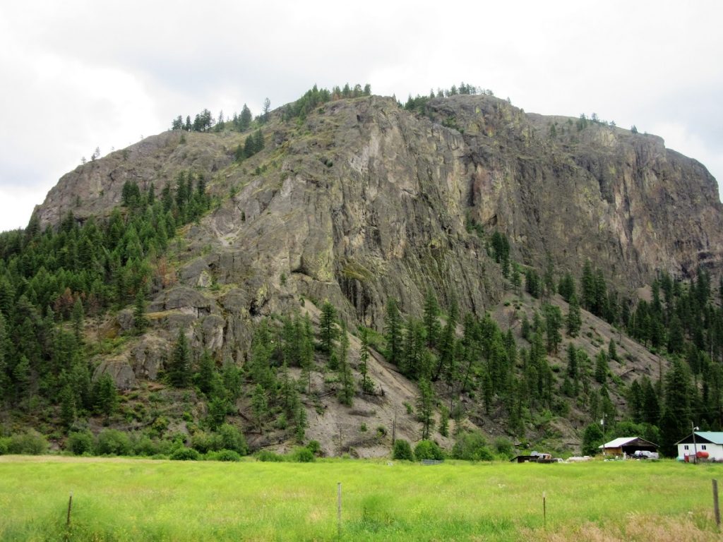
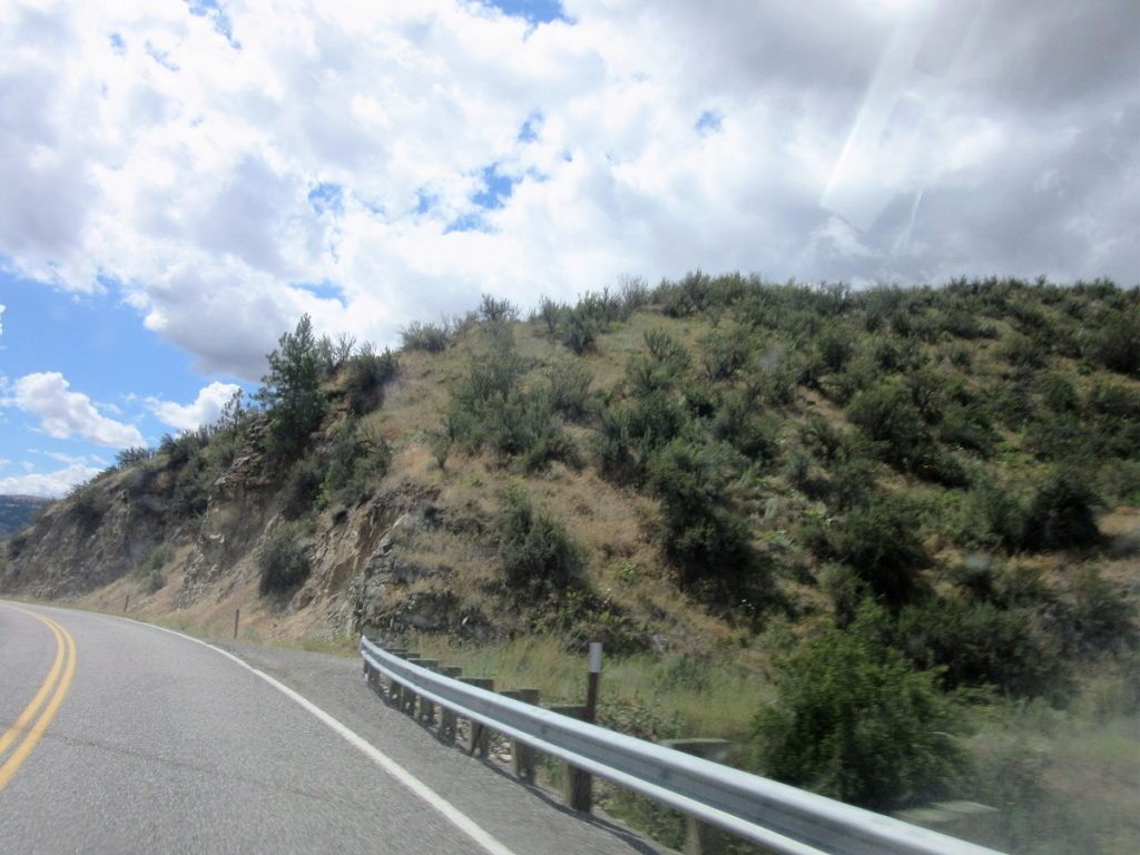
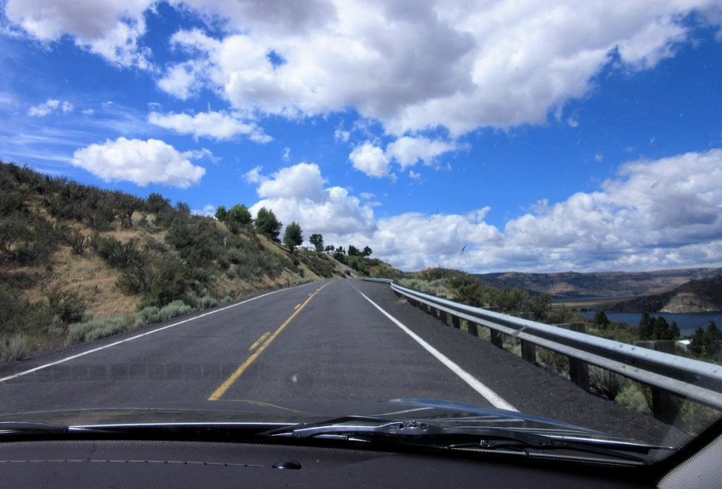
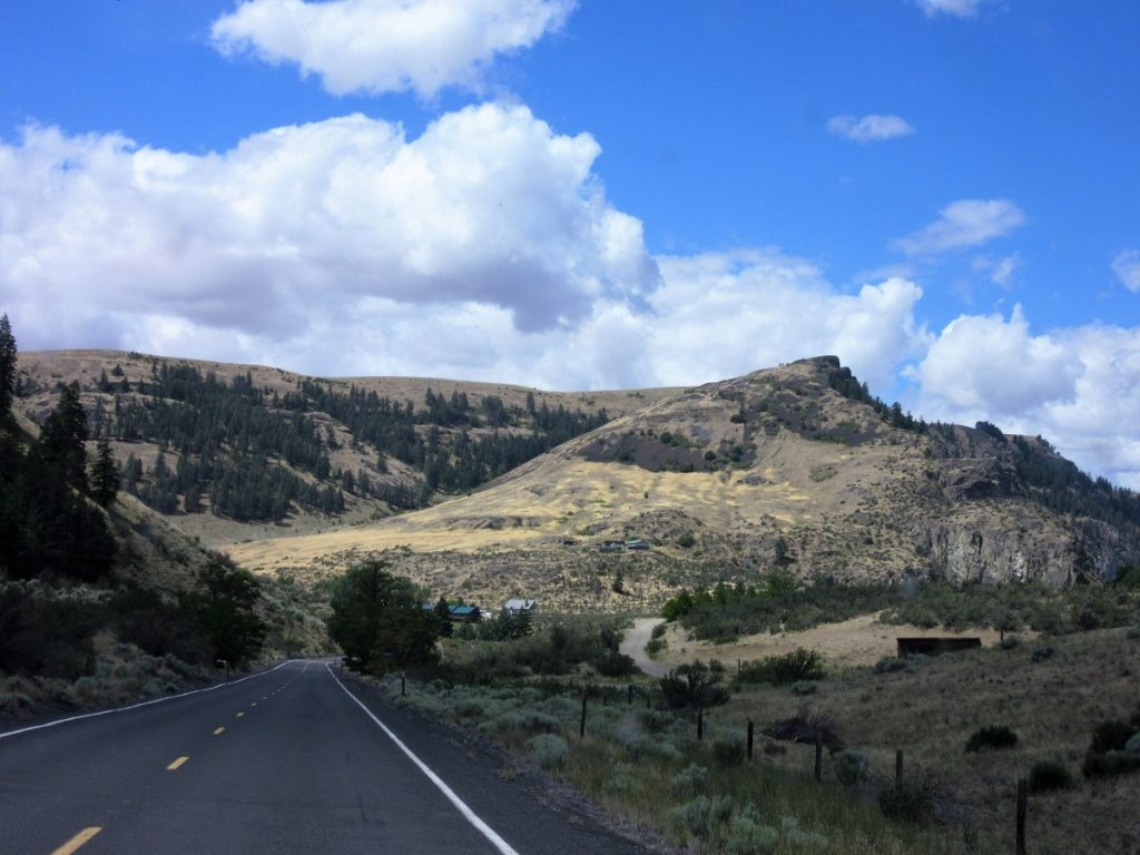
For the next 50 miles we’re going down a long, narrow, twisting State Road that follows the valley between majestic craggy granite peaks.
We have seen Black Bear, Moose and Bald Eagles, but not today. Oh…and yes, because it is open range land, I have personally crept down this highway at 10 mph surrounded by cattle, but not today thank goodness!
There’s the occasional double wide or beautiful ranch house but don’t count on seeing a lot of people down here. Isn’t this just awesome? Can you imagine having this as your backyard?
The lovely San Poil River meanders through the valley. Sometimes deep and narrow. Sometimes shallow and wide with convenient sand bars for sun bathing or skipping stones but I have never seen anyone doing such things. Lovely thought though
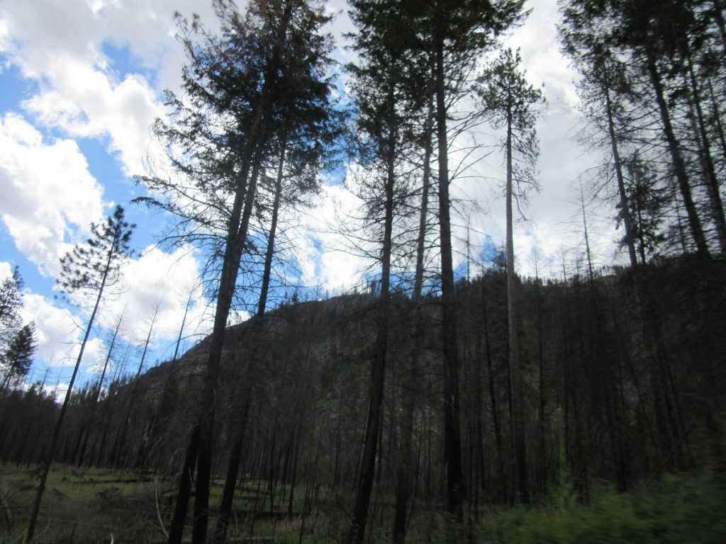
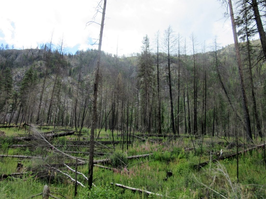
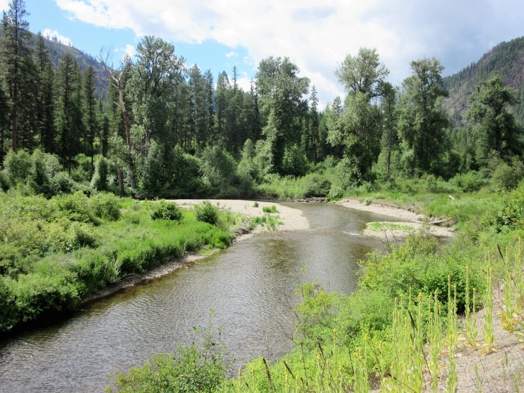 It’s pretty heavily forested here, or at least is was until last summers fires came raging over the ridges burning everything in their paths.
The trees will take a generation or more to come back, if at all. This is what “Human Error” can do.
Burned every single tree for miles and miles. Mountain sides are denuded. The entire ecosystem turned upside down and backwards. Yep….Human Error. Horrible tragedy.
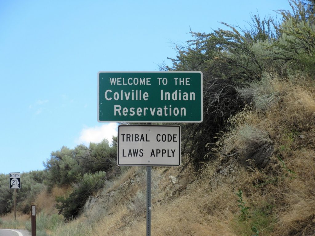
We’re on the Colville Confederated Tribes land here. Much of this part of the State is Native American land.
The topography changes dramatically as we head south. Going from mountains and forests to dry, high desert. The mountains are gone and in their place are rolling hills covered in Russian Sage and Rattlesnakes. Yeppers, just ask the DNR and Forest Service workers about the reptiles they encounter while fighting fires. SHUDDerrrrrrrrr!
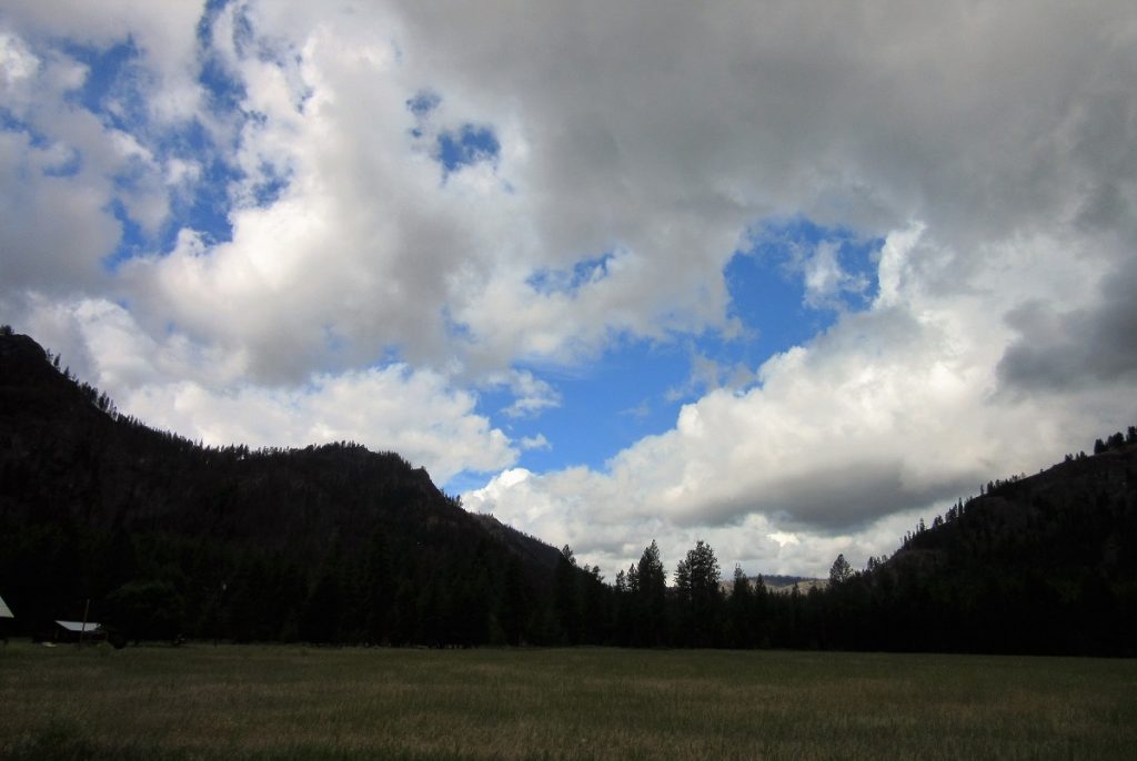
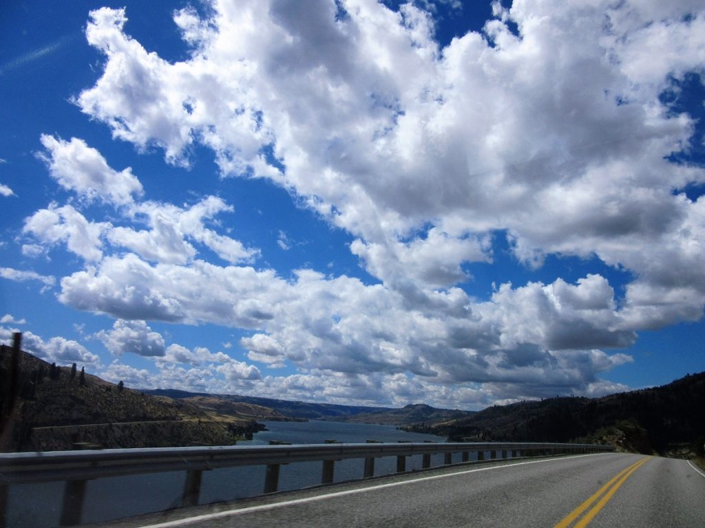
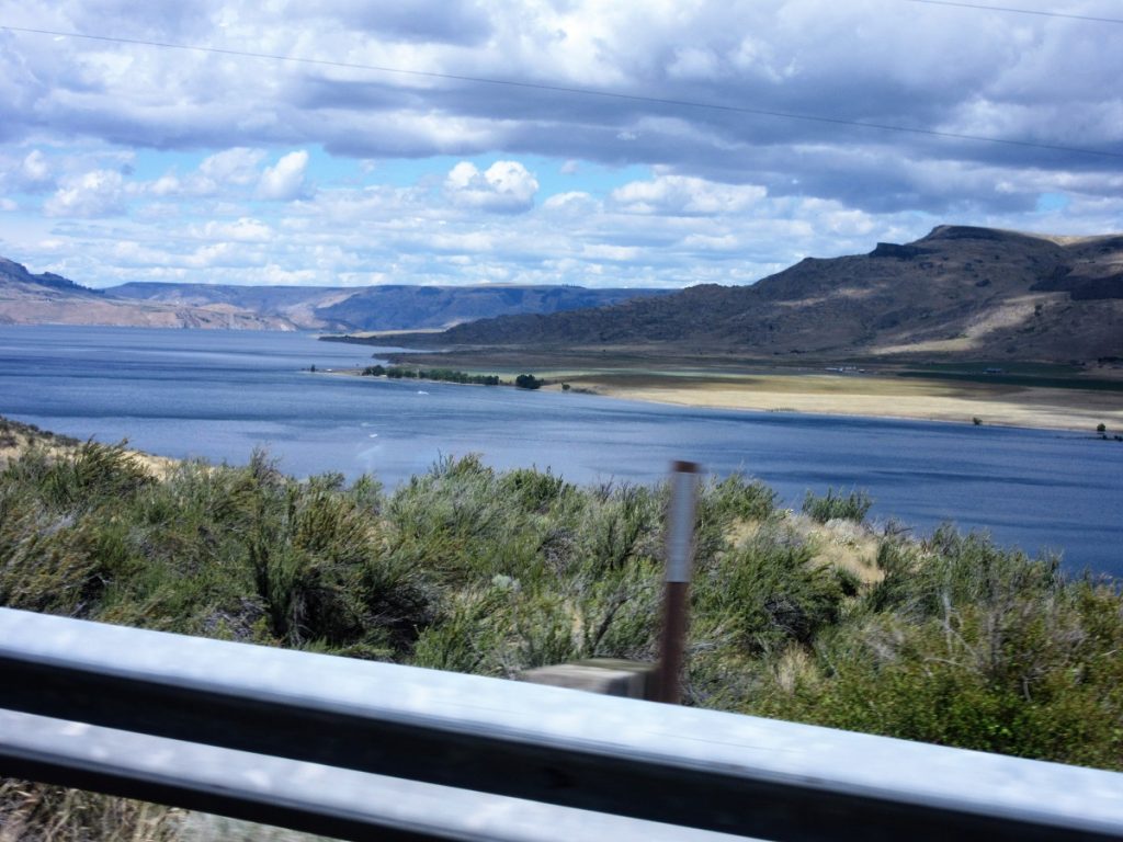
We’re getting closer and closer to the mighty Columbia River now. The sky has cleared. The sun is shining. Big marshmallow clouds fill the brilliant blue heavens.
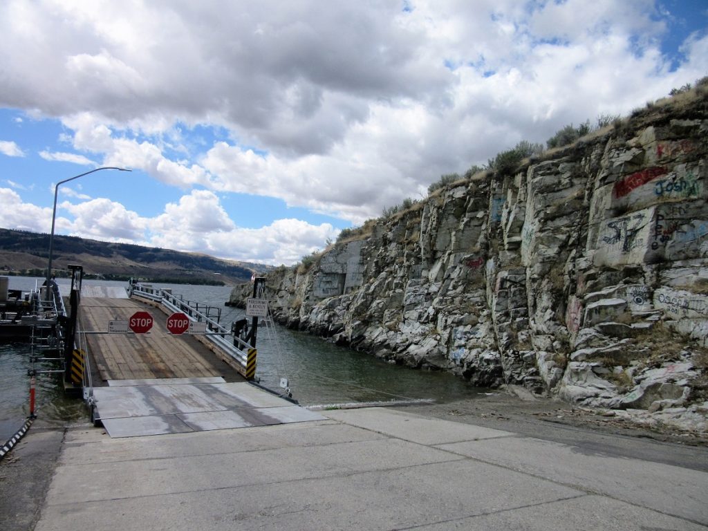
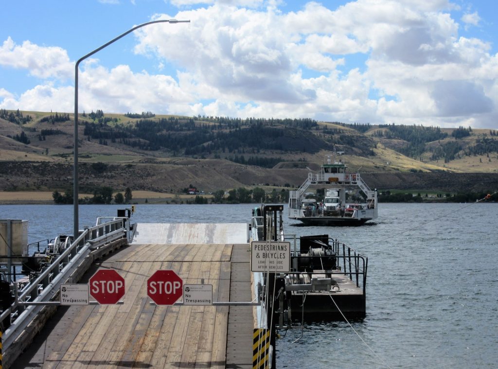
Now…if your goal is to get to Spokane, then you have to cross the Columbia and your options are few. Well, actually you only have one option but I thought I’d try to make it sound good. And hereeeeeee comes your option!
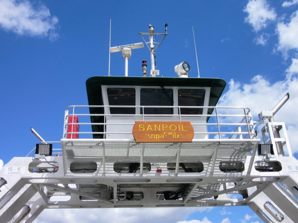
Welcome to the Washington State Ferry Boat system! Of course, ours is rather modest compared to Puget Sound, but we love her all the same.
Runs every 15 minutes from early morning until late at night. Highly efficient. Safe and fun. Except when she is down for maintenance or repairs or it is too windy. Then we’re out of luck. And don’t try to cross after 12 midnight unless you’re into swimming long distances. Just saying…………
But the San Poil gets the job done and we are grateful for her help. This Ferry brings school buses, produce trucks, building supplies, tourists and hay for our livestock across the Columbia River. Dan and I are not alone in loving on this boat. Did I mention fun?
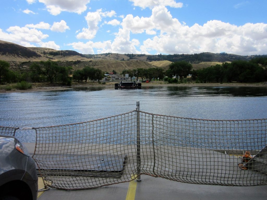
Ready to dock on the other side.
So now we are down in the river basin and we need to get to the top of the plateau and this is where we come to the “Lord Have Mercy” part of the adventure.
We start driving up hill. And I mean”uphill.” Clinging to the outside of this mountain this road winds and winds its way up. I hate it. Dan thinks it’s the Gran Prix and loves to see how fast he can go. I cling to the door handles and pray while my heart pounds and my hands sweat! Complete with hairpin turns and shear drop offs, it’s the only way to the top.
Going from the bottom to that peak.
The stunning Sawilla Basin. Pretty much the last time I open my eyes until we reach the top!
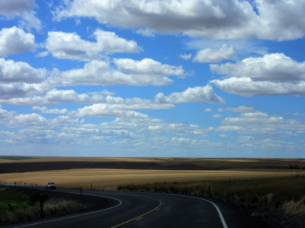
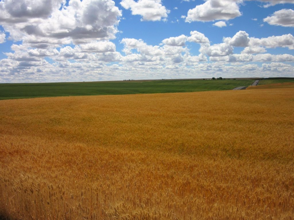
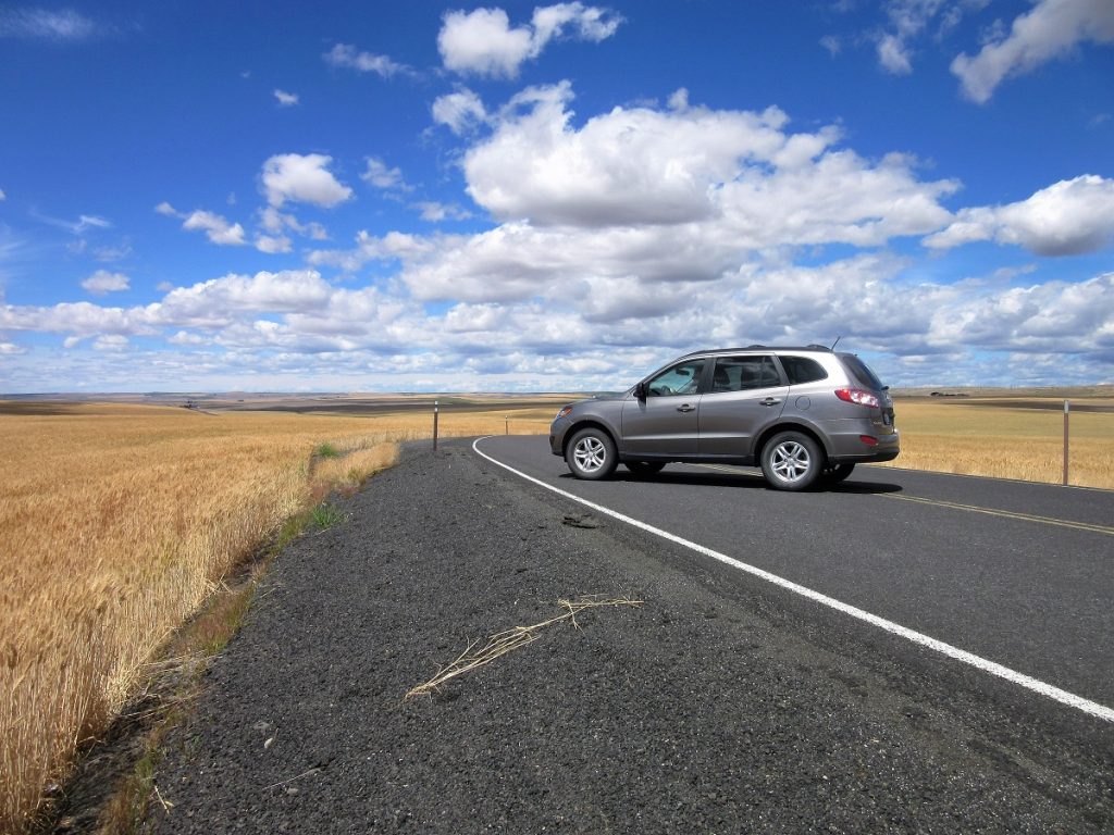
And then suddenly we pop out at the top of the plateau and into our 3rd ecosystem. Welcome to the wheat lands!
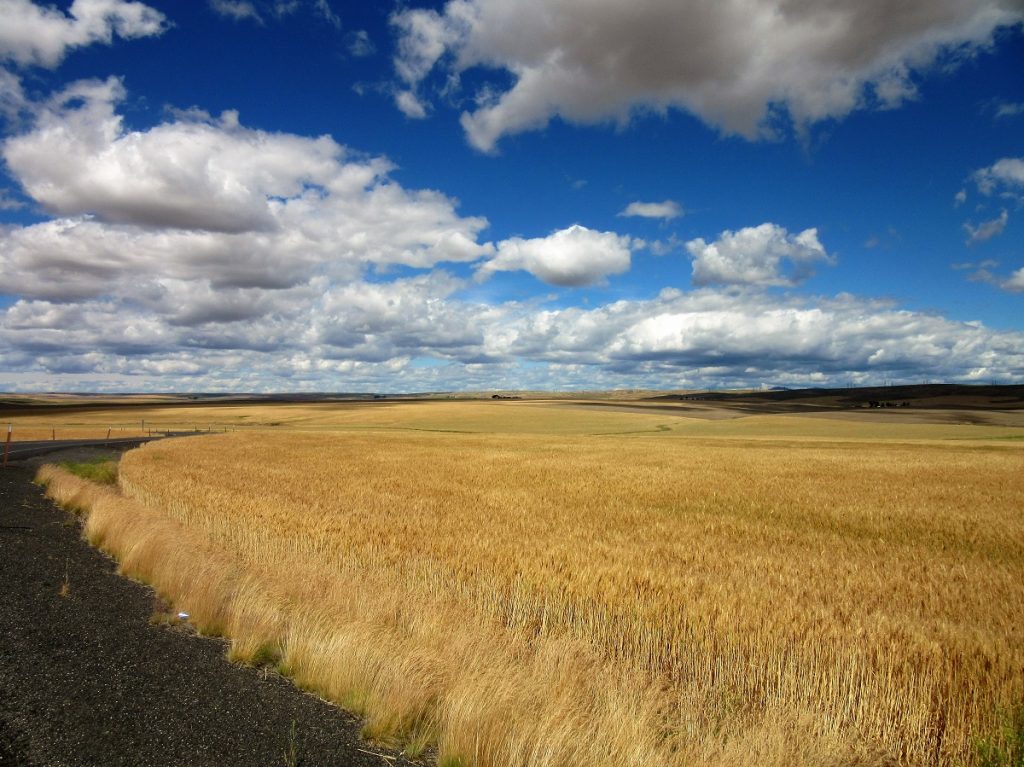
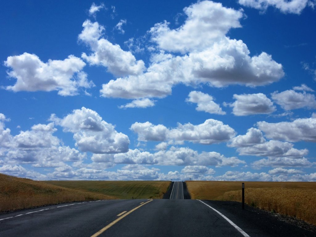
Yes, wheat! As far as the eye can see, it’s wheat. Is this just not gorgeous?
The road appears to never end and it is wheat forever.
Wheat. The staff of life. Mile after mile after mile. The green is young and not ready for harvest.
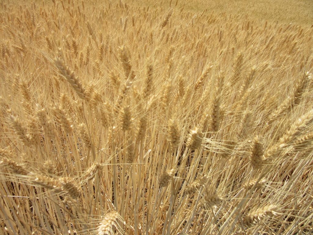
The stalks with their heavy heads wave in the breezes.
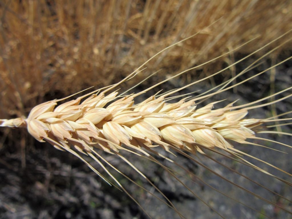
This is how bread begins with simple grains of wheat. I want to pick a handful to take home and put in a vase, but I resist temptation.
But my goal is not mountains or rivers or fields of waving grain, so back in the car I go. This land is so remote we could stop the car without worry.
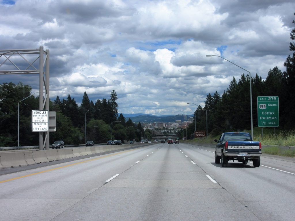
Oh yes….our goal was Spokane and after driving that 120 miles for 3 hours, we reached our goal. Hello I-90 and downtown Spokane!
Thanks so much for stopping by today and letting Sparky and I share our journeys with you from back of the beyond in Ferry County, Washington!
Wherever your journey leads you today, I hope you are gifted a sense of wonder for all the creation placed before your eyes. Journey On!
Hugs and much love from me,
Karen, TJG
Follow me at : www.thejourneygirl.com

Could have taken boulder or Sherman pass
Hmmmm to far away from home for me! Beautiful though!
Beautiful country! I know that road well! My family has vacationed at Curlew Lake since before I could remember slipping on the old dock into the Lake as a kid, anxious to get fishing! I bought property on Hwy 21 back in the 70’s and after a life-time working, now look forward to spending my “quiet years” smelling the forest breeze thru the trees next to the San Poil River. Thanks for sharing.
Hi Duane,
Thanks for commenting and sharing your memories! We too, are new retirees. We moved here in 2011 to retire but just kept working until hubby retired last year. Me? I am still plugging along. Hope to meet up some day.
Regards,
Karen, TJG